The 5*S project has brought together a diverse set of team members who each bring a wide range and wealth of experience to this unique project. Have a look at their profiles below:
Dr. Conor Calahane:
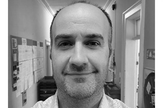
Dr Conor Cahalane is a Lecturer in Remote Sensing at the Department of Geography, Maynooth University. His background is in Geomatics, Applied Computing and Geocomputation. Conor employs satellite, airborne and UAV remotely sensed data for coastal management, environmental protection, engineering works, forestry surveys and precision agriculture. Conor is the lead on the highly successful, national STEM outreach programme 5*S: Space, Surveyors and Students (https://5sdiscover.maynoothuniversity.ie/) and is the current Secretary General for the European Spatial Data Research Group (EuroSDR – https://www.eurosdr.net/). Nationally he collaborates with the Society of Chartered Surveyors promoting RS and EO in the Geomatics community in Ireland.
Jonathan Faull:
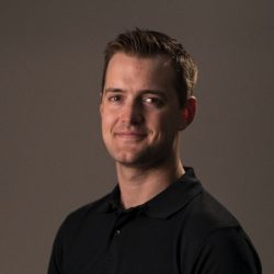
Jonathan Faull is a Software Engineer on the 5*S Project and responsible for the design, development and testing of the SatelliteSkill5 Augmented Reality app for the iOS and Android Platforms. He has a Bachelor of Science and Masters in Mechanical Engineering from University College Dublin and is an alumni of the Space Studies Program at the International Space University (ISU). He has been part of the Mission Control team at The European Organisation for the Exploitation of Meteorological Satellites (EUMETSAT) and involved with research and education projects at ISU. He brings expertise in technical design and problem solving and a wide range of experience in the global space sector to this project. He is is interested in the ways space related technologies can be used to improve life on Earth and in ways to educate people about them.
Helen Cullen:

Helen Cullen is a Research Assistant on the 5*S project, and the student and teacher Storymap Workshops, designed to introduce students to space data and to using earth observation data to engage with the UN sustainable development goals. Helen has a MSC in Geographic Information Systems and Remote Sensing from Maynooth University and she is also a Geomatics Surveyor. Helen is especially interested in introducing young women to a career in Surveying by encouraging interest in the 5*S project.
Lorraine McNerney:
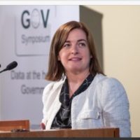
Lorraine McNerney is Head of Data Governance Unit in the Office of the Government Chief Information Officer. Her work programme involves data related activities including delivery of the Public Service Data Strategy, overseeing the implementation of the Data Sharing and Governance Act and an analytics team providing support to areas of current expenditure, as well as representing Ireland as co-Chair on the United Nations Expert Group for the Integration of Statistical and Geospatial Information.
Dr. Zerrin Doğança Küçük:
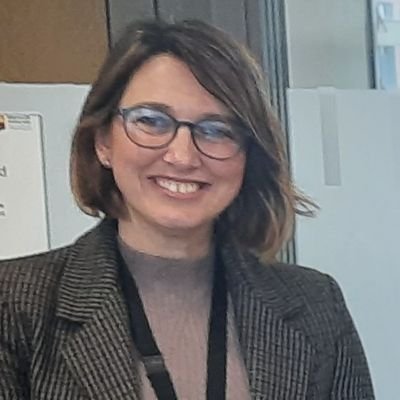
Dr. Zerrin is an assistant professor in the Education Department at The National University of Ireland, Maynooth. Her major is in science and mathematics education. After graduation she completed her MS and PhD studies in Environmental Sciences with a focus on teacher education. Prior to Maynooth University, she worked as a senior researcher and teacher trainer in a STEM Education Center in Turkey. Her areas of interest are initial teacher education, sustainability education, mathematics/science teaching, and professional development of primary and secondary school teachers.
Patricia Cleary:

Patricia Cleary is a GIS Consultant at Esri Ireland, currently working on the ArcGIS for Schools Program. She helps teachers who sign up to the 5*S workshops to gain access to Esri’s online mapping platform, ArcGIS Online, and provide guidance on creating accounts for their colleagues and students as well as technical support. With a background in physical geography and GIS and previous experience working with satellite data, she thinks it is great to be part of a project that makes Copernicus data accessible to students across Ireland whilst also relating it to the SDGs.
Angela Rickard:

Angela Rickard is a lecturer in the Department of Education in Maynooth University. She is Course Leader for Year 1 of the Professional Master of Education (PME). She teaches on this and on other postgraduate and undergraduate programmes in the department. She is interested in integrating education for social justice in Initial Teacher Education; supporting creative approaches to teaching and learning and exploring how emerging technologies can be used to complement these approaches. She is the departmental representative in the Ubuntu Teacher Education Network and coordinates a Development Education Week as part of the PME programme.
Eimear McNerney:

Eimear McNerney is a lecturer in the School of Surveying and Construction Management at TU Dublin, her background is in Geomatics and Regional and Urban Planning. Eimear brings with her over 15 years industry experience and is a fellow of the Society of Chartered Surveyors Ireland and the Royal Institution of Chartered Surveyors. She is an active member of the remote sensing and earth observation working group within the society, promoting satellite data and the Copernicus programme in the Geomatics Community. Eimear leads the school placement element for the TU Dublin BSc Geographic Science final year students, in partnership with the TU Dublin Outreach and Engagement team.
James Lonergan MSc:
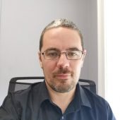
James Lonergan MSc has been working in Education for over 15 Years, and specifically within the SCSI since 2016. Professionally, he would describe himself as someone who’s extremely interested in online and blended learning, specifically within the area of Surveying, for Construction, Land & Property Professionals. He is very interested in helping Surveyors or Professionals from the Construction, Land and Property Sectors to bridge the gap between their day to day work and skills and what they might need to further their careers; and for employers to ensure their staff are trained in the most up to date professional industry standards. On a day to day basis, he is continually looking at ways to provide new insights into the latest trends in education and training specifically for those within the Surveying industry.
Dr. Ronan Foley:

Dr Ronan Foley is Associate Professor in the Department of Geography at Maynooth University and started work here in 2003. I currently teach courses on GIS and Health Geographies at undergraduate level. I am the course leader of the MSc. in GIS and Remote Sensing and also teach on the MA Geography course. My research is primarily in the area of health geography, with significant publications on therapeutic landscapes, healthy blue space and health care services while I also research on historical and cultural geographies. I have been a PI or Co-PI on a wide range of funded research including current projects funded by the Environmental Protection Agency and the UK’s Economic and Social Research Council. Prior to my arrival in Maynooth I worked at the University of Brighton from 1988 to 2003 and I have also taught at the University of Canterbury in Christchurch, New Zealand in 2015 and as an occasional lecturer at Queen’s University Belfast and Trinity College Dublin.
